

Early warning of Skaftá glacial outburst flood
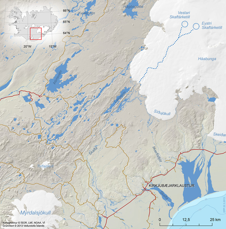
- The importance of IsViews is emphasised -
On 19th January 2014 a glacial outburst flood happened in Skaftá river south west of Vatnajökull glacier. Floods in Skaftá are sourced from two ice cauldrons, formed due two persistent geothermal activity beneath Vatnajökull.
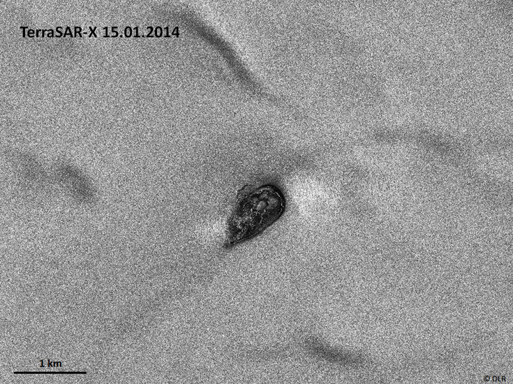
By analysing a TerraSAR-X radar image from 15.01.2014 we were able to predict the flood. The image clearly shows that the western ice cauldron was filled with water. In radar images wet areas are displayed in black (500,000 m²).
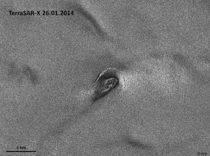
The TerraSAR-X image from 26.01.2014 shows that the ice cauldron is drained. The water is released and new crevasses have formed around the depression.
On average Skaftá cauldrons drain every two years. However, a flood during winter time is very unusual!
The TerraSAR-X images were available only few hours after acquisition! The TerraSAR-X data analysis was shown in the Icelandic Television (interpreted by Oddur Sigurðsson from the Icelandic Meteorological Office), published in the newspapers and handed over to the Icelandic Ministry. Due to bad weather conditions the radar images of the Skaftá ice cauldrons were the only available data source for hazard monitoring and warning.
This event underlines the importance of the Bavarian project IsViews.
For further information on the hazard warning and photographs of the flood see www.vedur.is (19./21.1.2014).