

Fieldwork 2015
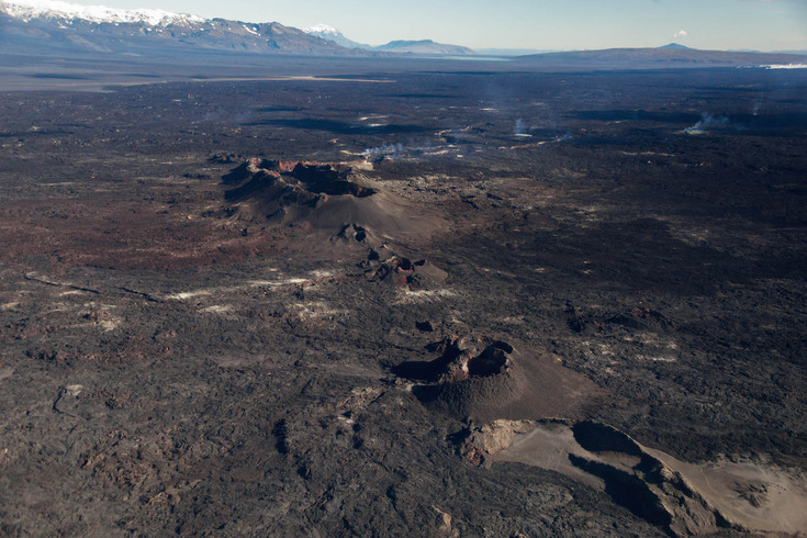
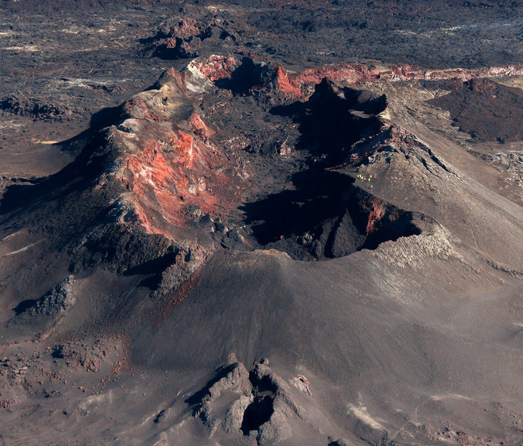
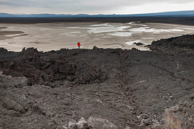
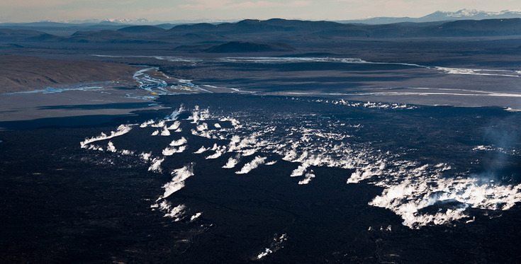
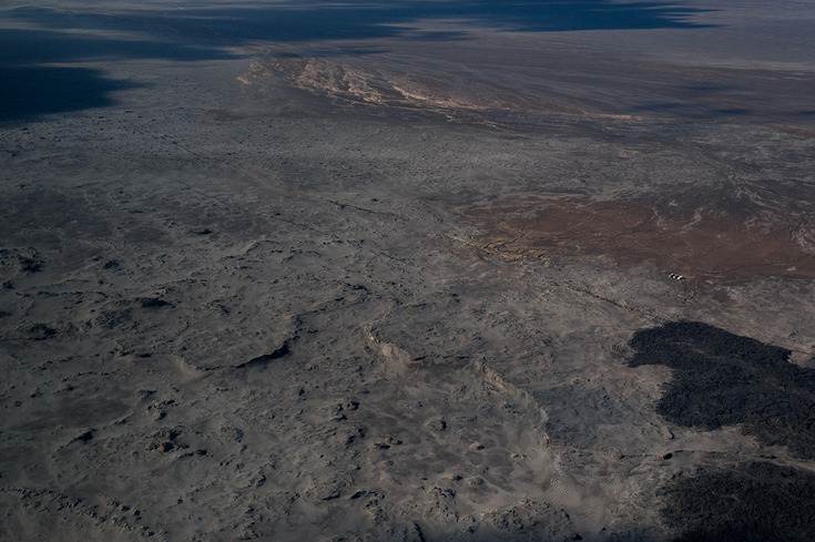
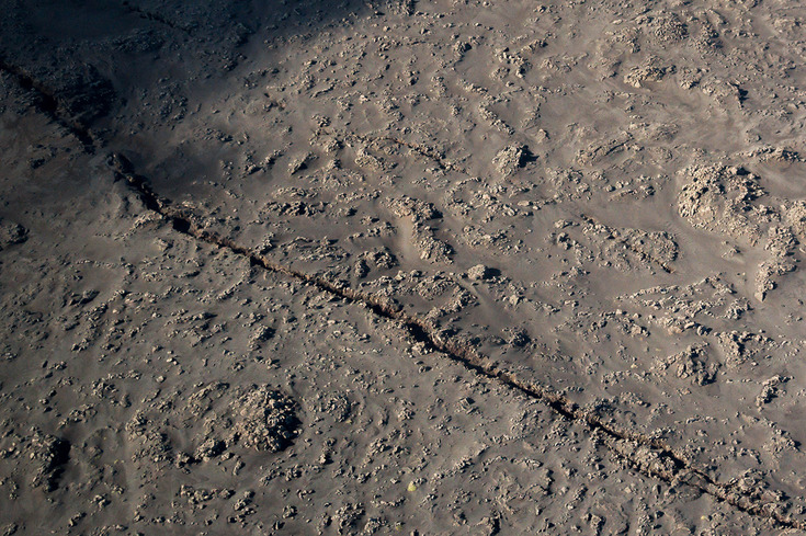
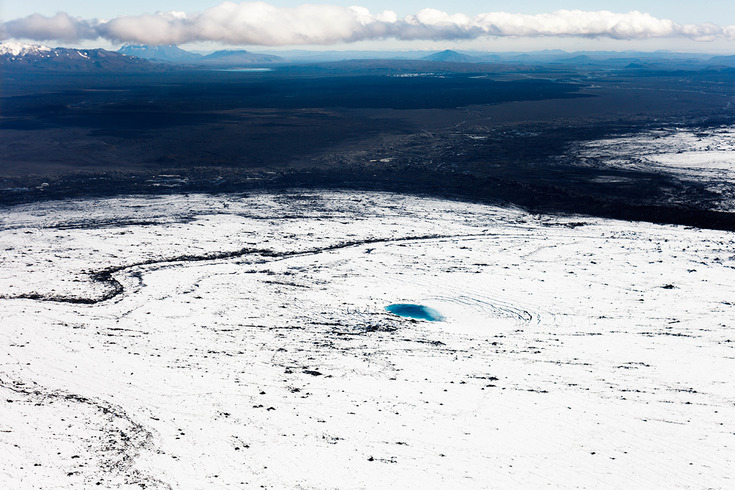
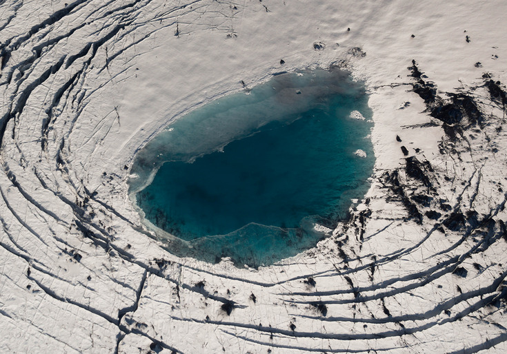
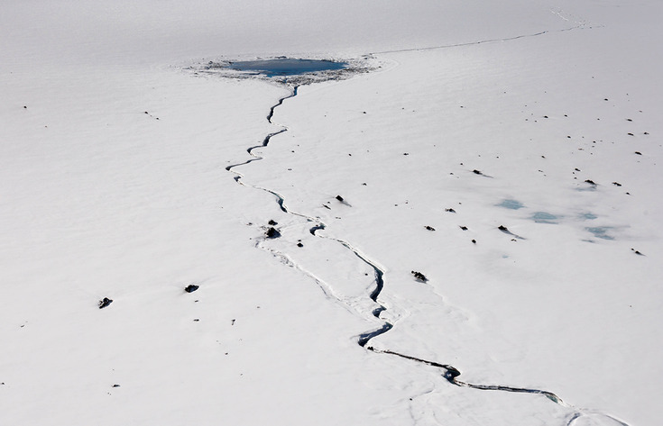
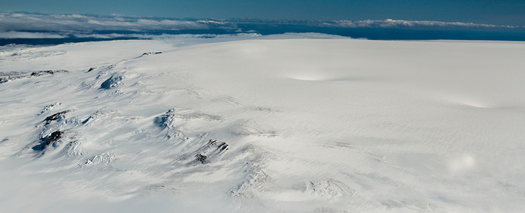
Between August 25th and 30 aerial and ground truth surveys took place at Bárðarbunga subglacial volcano and Holuhraun lavafield. Among other things, the ice depressions at Bárðarbunga and Dyngjujökull and the Holuhraun fracture zone, which emerged during the volcanic activity in 2014/15, could be well documented. For more information on the event see NATURAL HAZARDS.
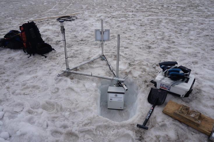
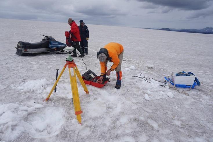
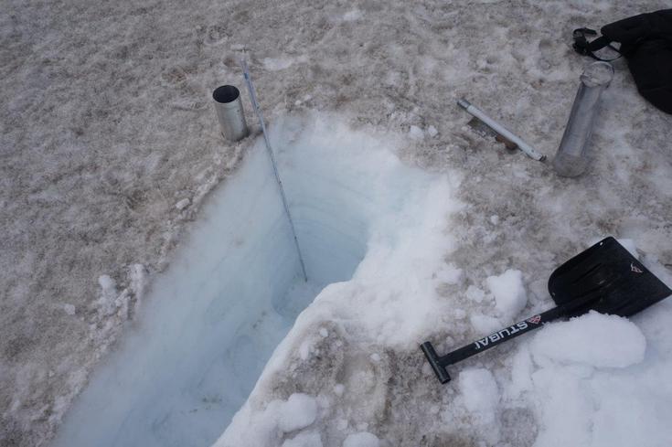
At the beginning of August glaciological investigations at Sléttjökull, the northern outlet glacier of Mýrdalsjökull, were carried out. A newly developed Low-Cost-GNSS receiver was installed to record the surface motion, Top-Hat reflectors and ablation stakes were re-located with DGPS, snow density measured and the prominent ash layer from 1918 tracked with ground penetrating radar.
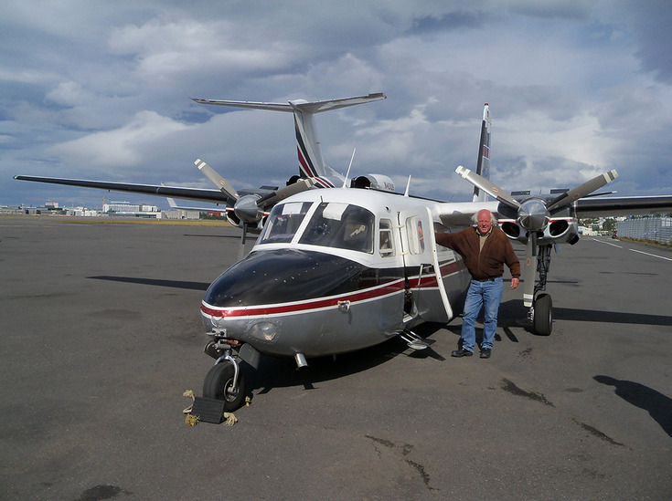
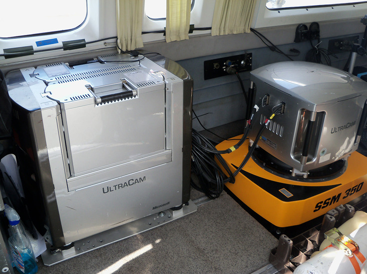
Even though weather conditions were harsh in summer 2015, in the middle of September UltraCam imagery of Sléttjökull and Holuhraun lavafield could be again acquired. This allows an unprecedented analysis of glacier mass balance and volcanic activity.