

Fieldwork 2014


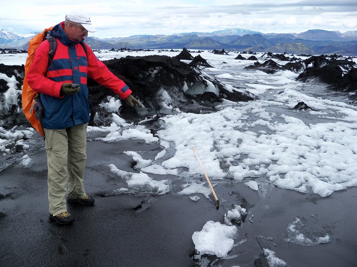
In August 2014 a revisit of Sléttjökull outlet glacier, northern Mýrdalsjökull, took place.
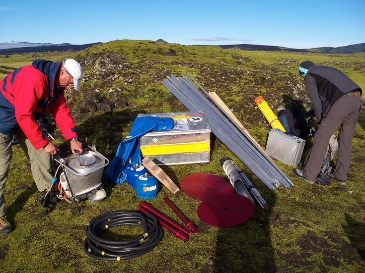
Unfortunately, the lower GPS station and one Top-Hat reflector got damaged about one month after installation in August 2013 (Jaenicke et al. 2014). However, the data collected before could be saved (Völksen & Mayer 2015).
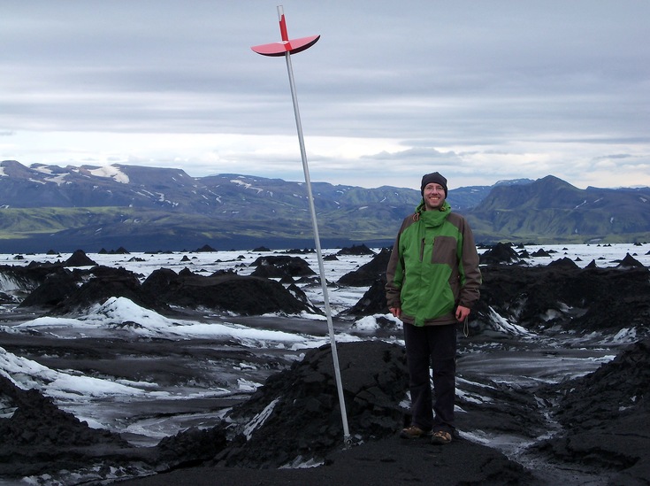
The three stick gauges from 2013 provided reliable ablation and velocity values.
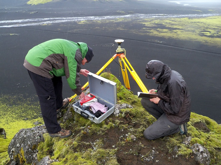
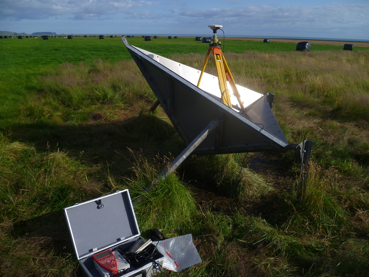
Among other things, the position of the corner reflectors, surrounding Mýrdalsjökull and installed in 1995 in the course of an ESA ERS-1/2 project (PI U. Münzer), was measured again with Differential GPS. These information are very important for analysing the high resolution TanDEM-X and UltraCam data.
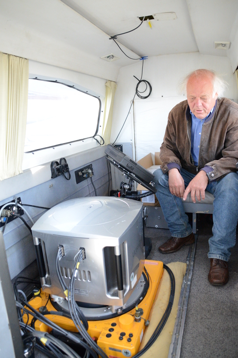
Furthermore in August 2014, aerial photography with the UltraCam XP camera was acquired of the following IsViews research areas: Eyjafjallajökull-Mýrdalsjökull, Holuhraun, Askja, Eyjafjördur, and Vatnajökull National Park.
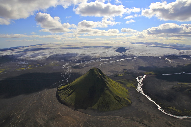
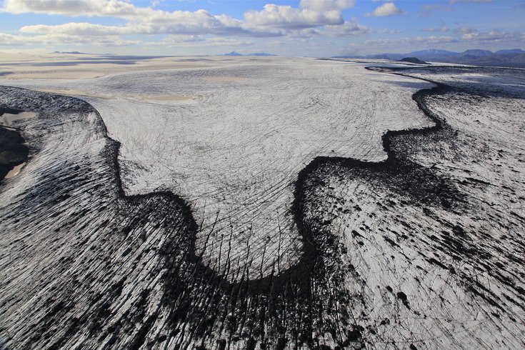
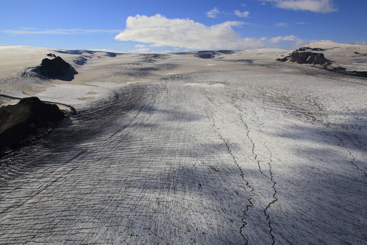
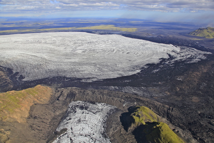
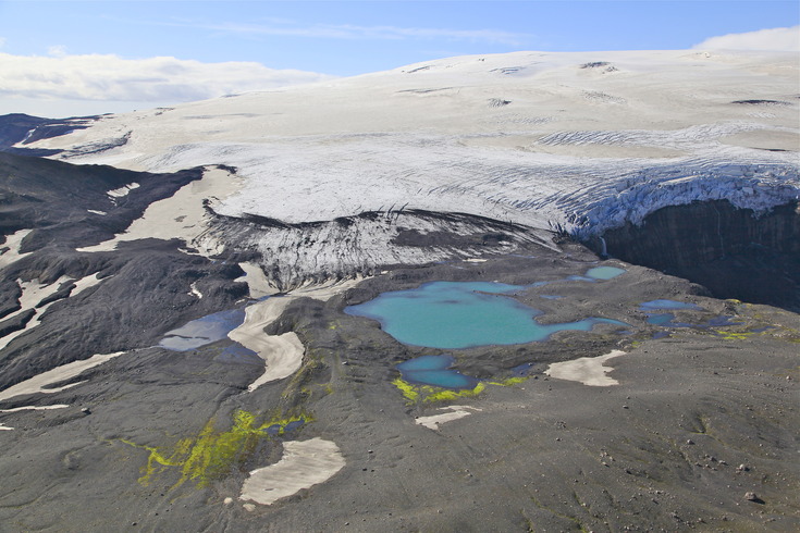
At the end of the photo series there are aerial photographs of Mýrdalsjökull taken by Max Schmid on 11.08.2014.